December 5, 2021 - Essex Skypark Pilots fly the Hudson River Corridor, lunch at Sky Acres Airport
|
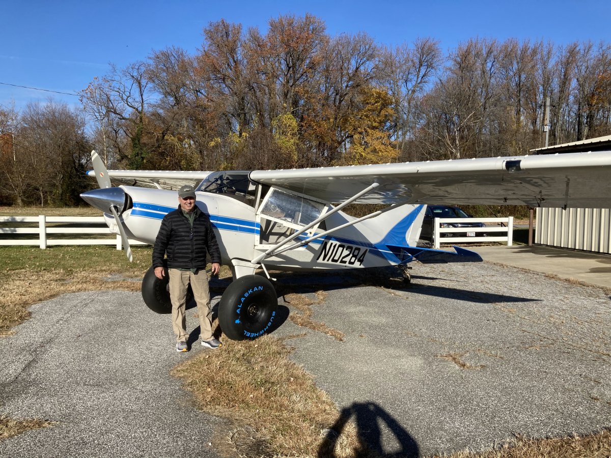
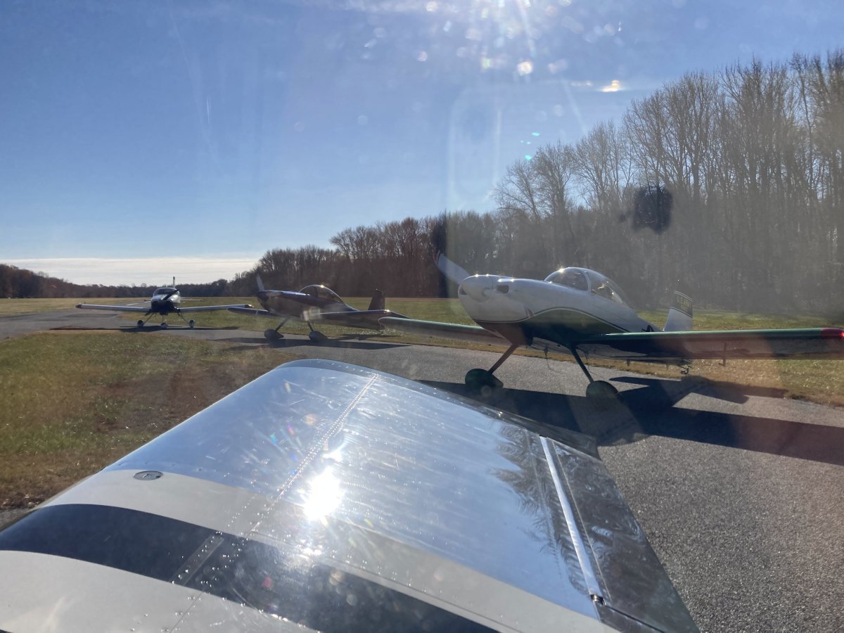
| Today's flying weather was, if anything, slightly better than yesterday, which was phenominal: clear skies, light winds, smooth air, outstanding visibility, a little cool but not cold. Chuck, Mark, Nhu-An and I decided yesterday afternoon to fly today along Hudson River Corridor past New York City and then have lunch at Sky Acres airport restaurant in New York. Amazingly, we ended up with seven airplanes and 16 people on this trip. Even Tom K. and his spanking band-new 31-inch Alaskan bush wheel-equipped Maule showed up! |
| |
 |
|
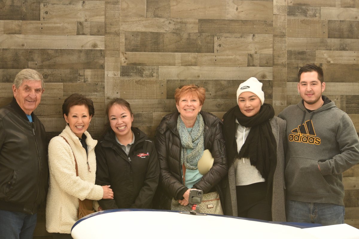
| A pre-flight social gathering in Chuck's hangar. |
| |
 |
|
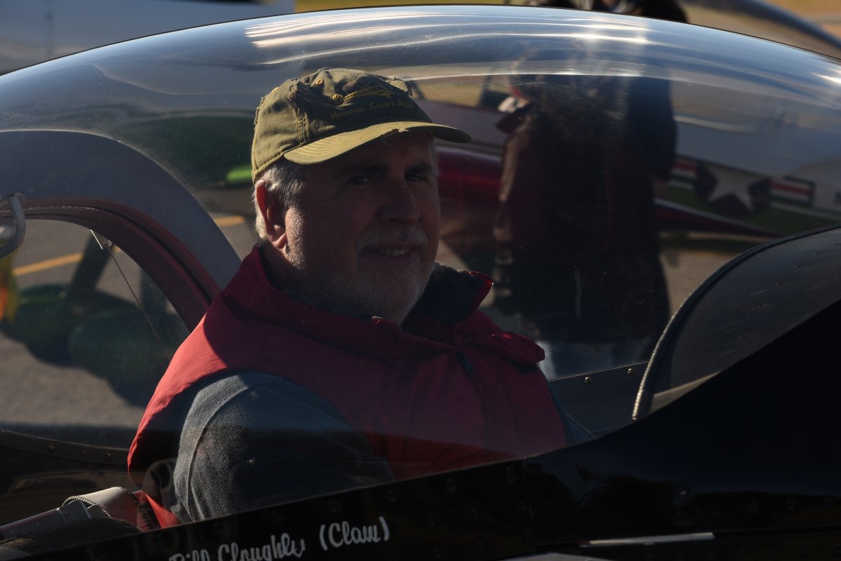
| My Pappy Boyington look. |
| |
 |
|
|
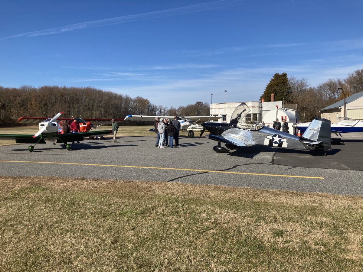
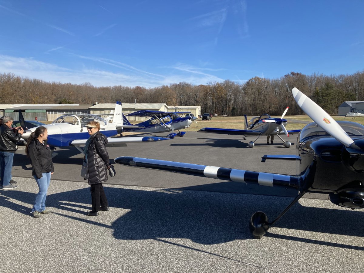
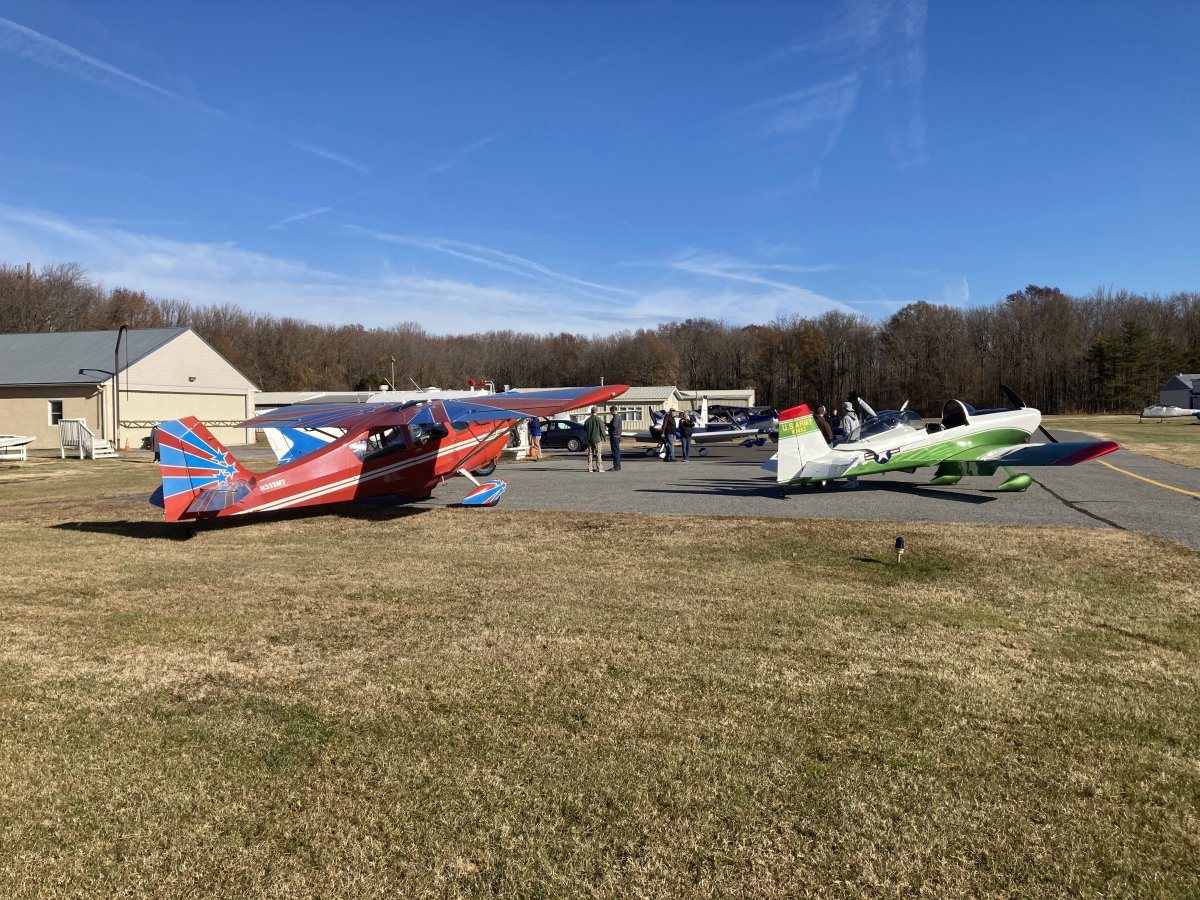
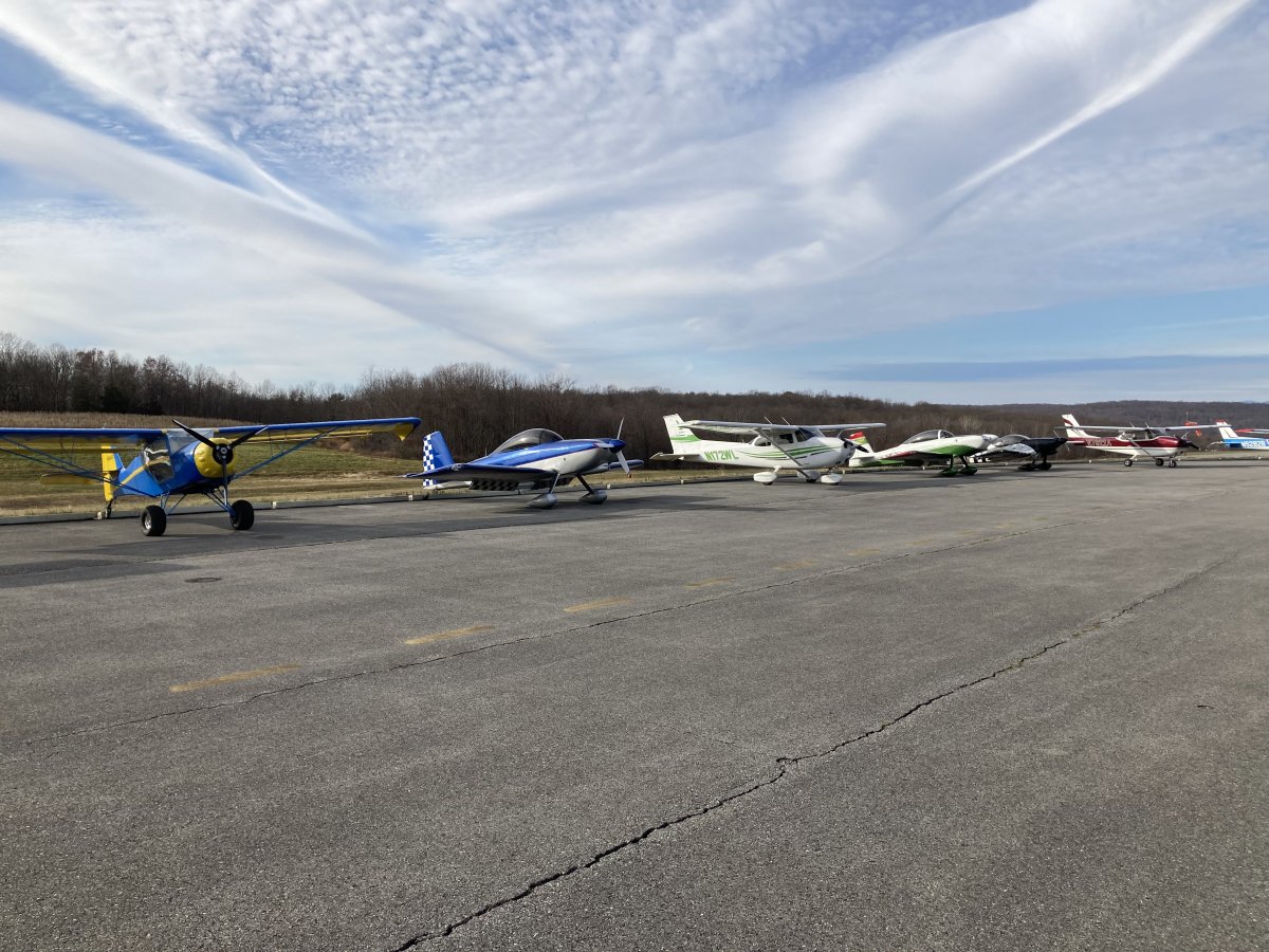
I've never seen this many airplanes on the ramp at Essex Skypark -- ever. Of course, the ramp is bigger now.
|
| |
 |
|
| Seven planes -- four RVs, two Decathelons, and the Maule. |
| |
 |
|
|
|
| |
 |
|
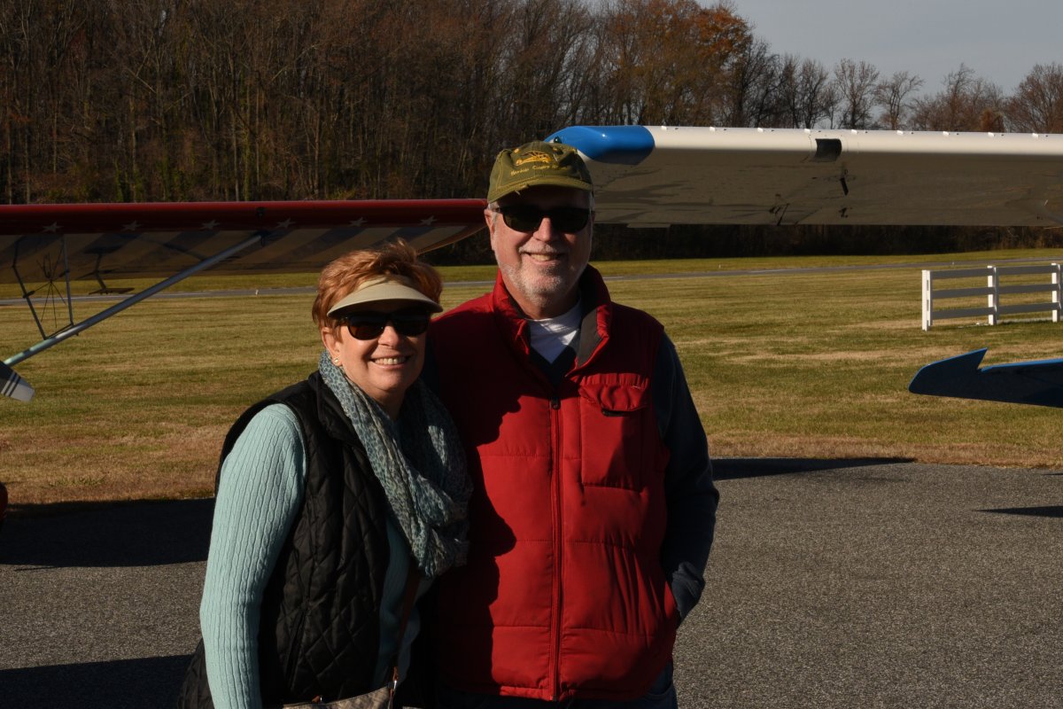
| Lynnette was flying with me today! |
| |
 |
|
| The happy co-pilot. |
| |
 |
|
| The three high-wingers took off first and flew direct to the Verrazzano Bridge. The four RVs would take a longer, indirect route: head for Atlantic City, then fly up the Jersey Coast to the Verrazzano Bridge. It worked out pretty well. The RVs arrived at the VZ Bridge five minutes or so after the high-wings. |
| |
 |
|
|
Lynnette took this interesting and unusual shot looking backwards as we climbed out after takeoff.
|
| |
 |
|
| Heading east across the Bay. |
| |
 |
|
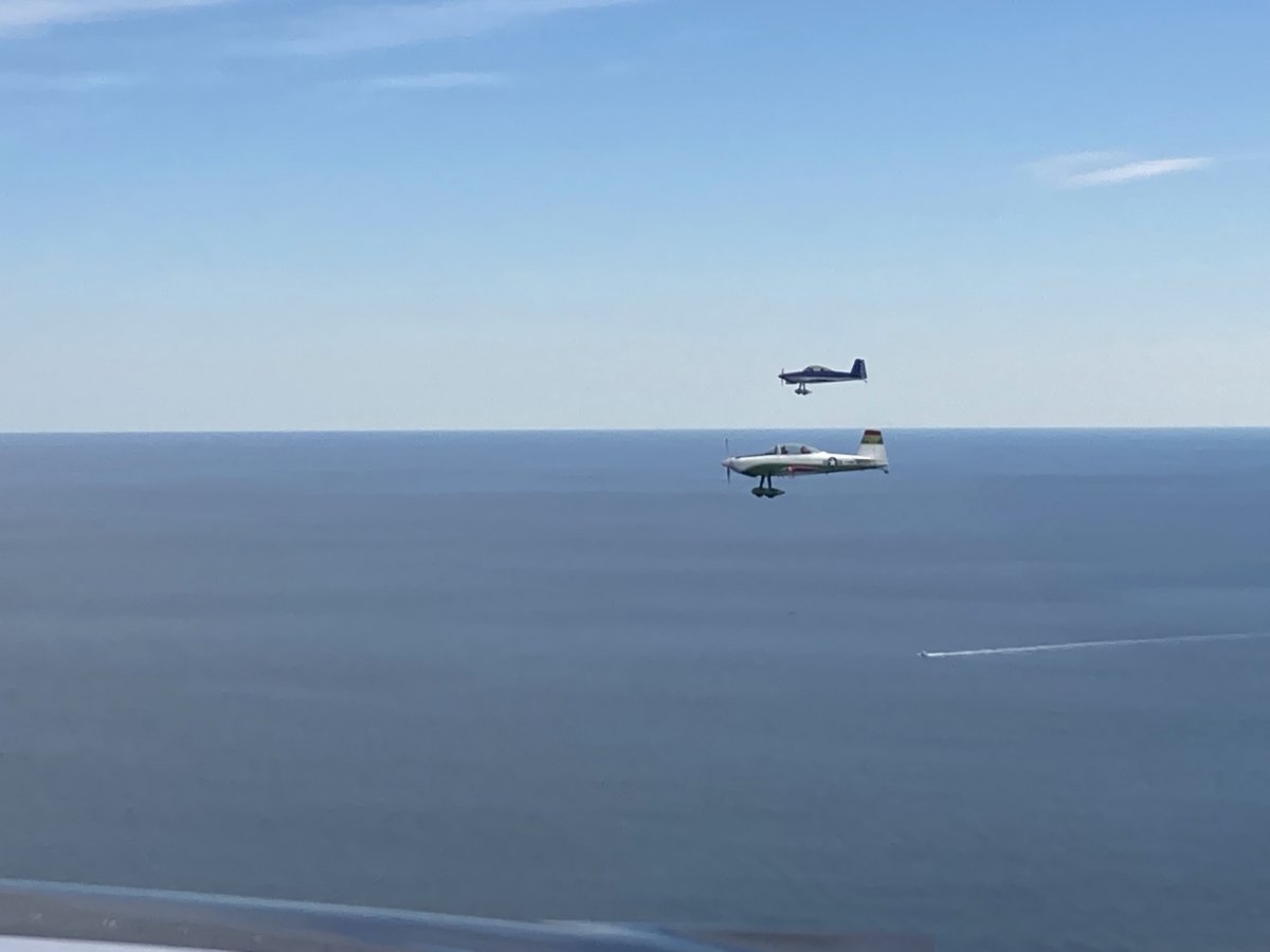
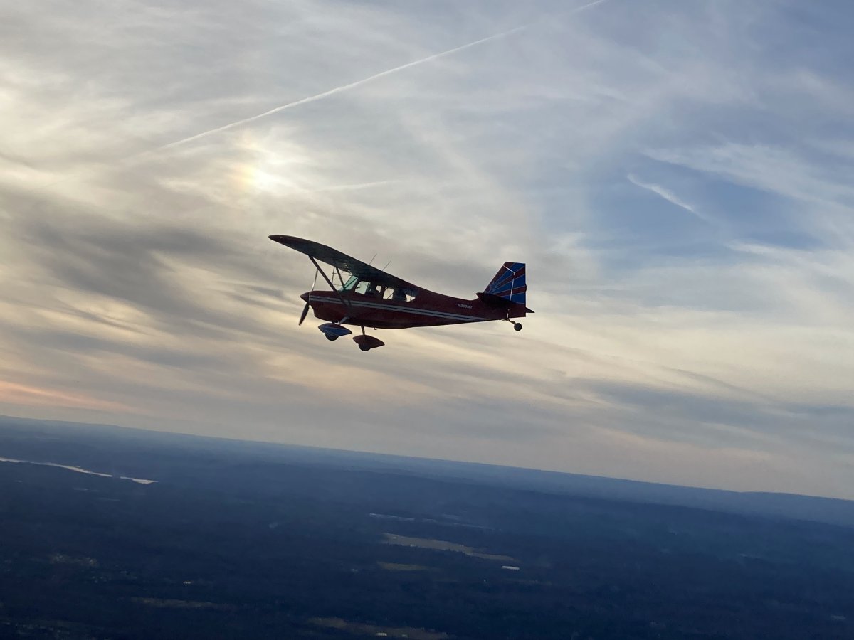
| Nice profile shot of Mark's RV-8. Every plane had a passenger today. Once we climbed to over 4,000 feet our speed increased by 20 mph. |
| |
 |
|
| Brian over the marshland of South Jersey. |
| |
 |
|
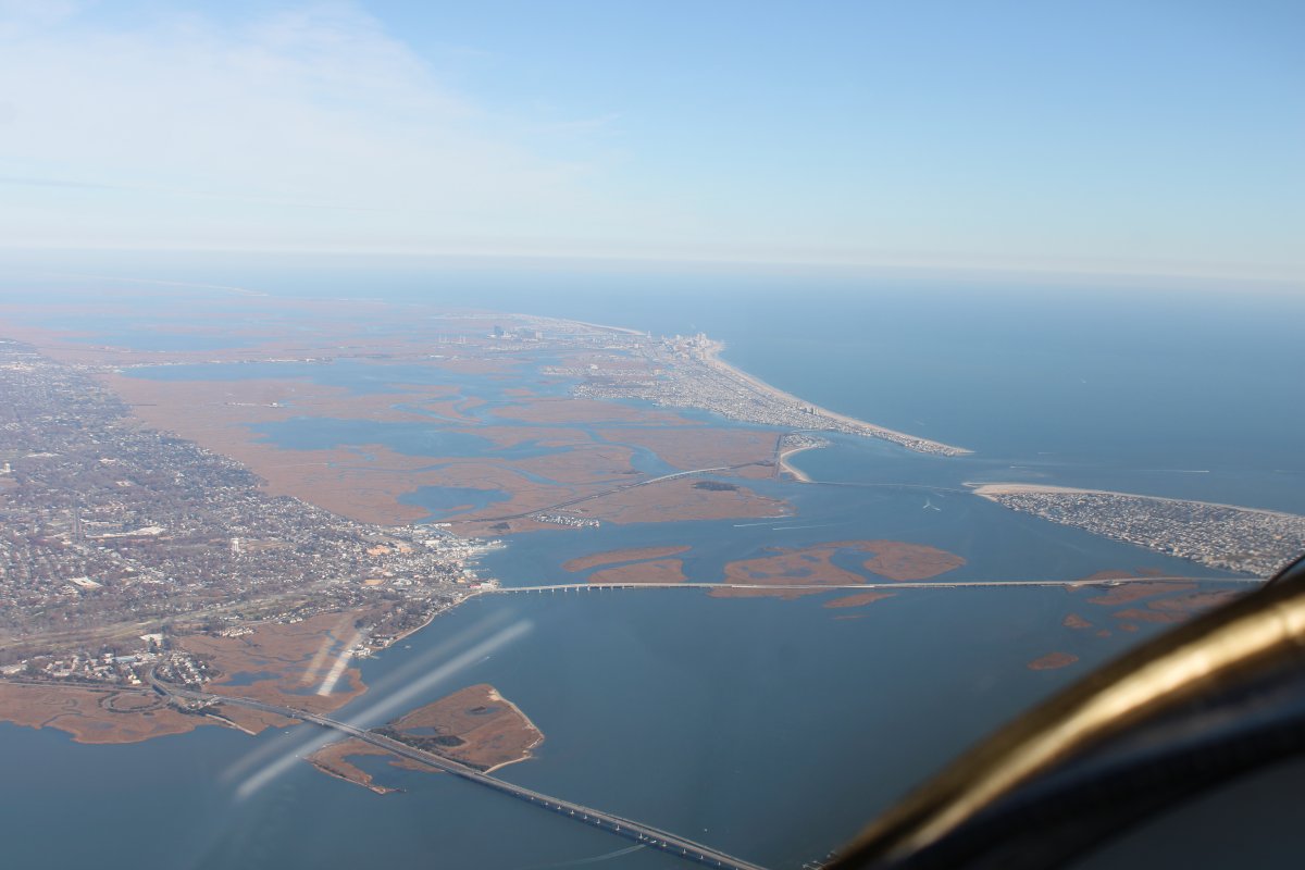
| Approaching Atlantic City from the southwest. Since we were already high, we decided to just fly over the Atlantic City Class C airspace and then descend on the other side. |
| |
 |
|
|
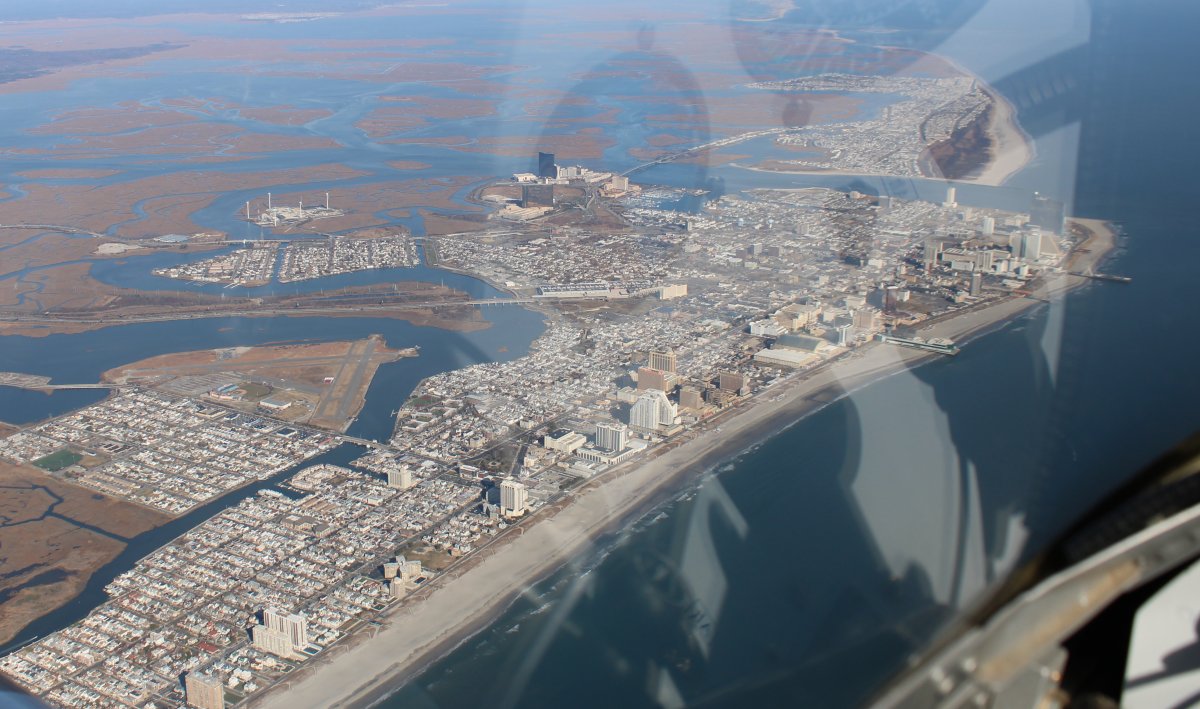
Looking down at Atlantic City.
|
| |
 |
|
| Coming down on the other side. |
| |
 |
|
|
We flew up the Jersey Coast at 500 feet or so.
|
| |
 |
|
|
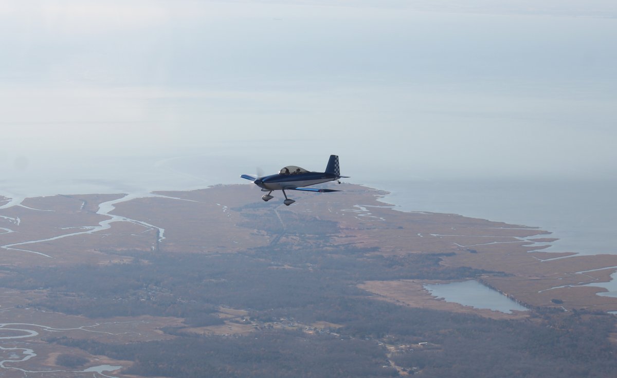
Mark and Brian flying alongside.
|
| |
 |
|
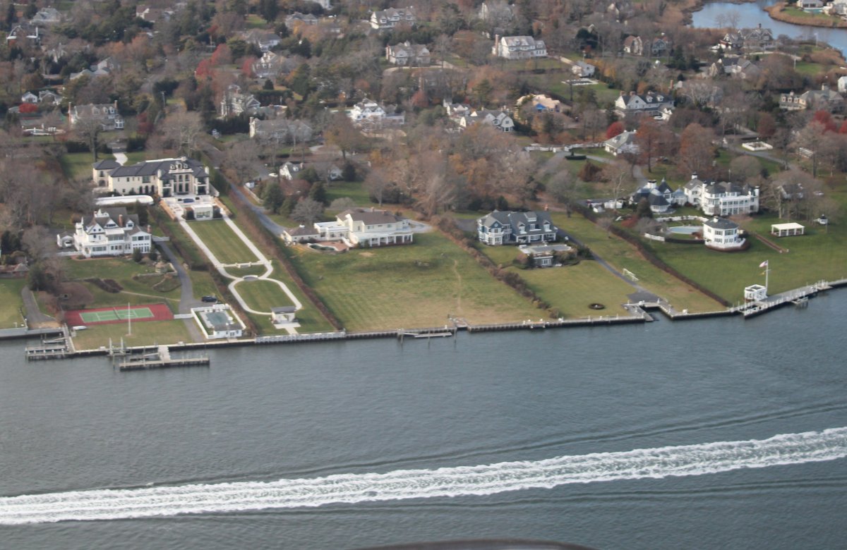
| Some mansions on the shore. Nice. |
| |
 |
|
|
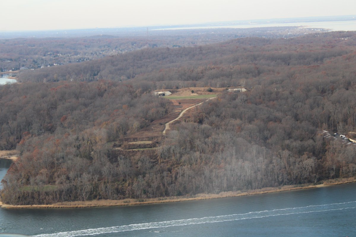
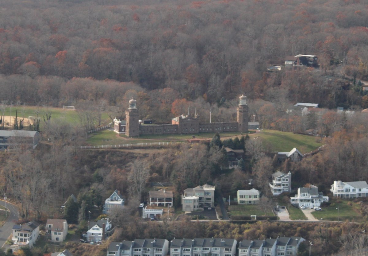
Flying past the Battery Lewis and the Navesink Military Reservation
Situated in Hartshorne Woods Park, Battery Lewis and the Navesink Military Reservation are among a number of different land and air-based military installations intended to defend New York Harbor and surrounding areas. During WWII, batteries for artillery were constructed on the site including Battery Lewis, a 600-foot casemated battery consisting of two 16-inch caliber gun emplacements connected by a corridor housing ammunition storage and power rooms. Still extant today, the concrete and earth encasements or bunkers protected personnel and equipment. During the Cold War era when strategic air power and nuclear weapons were on the rise, the site served as a missile defense and command center fitted with radar, computers, and electronic plotting devices. The Navesink Military Reservation is listed in the State and National Registers of Historic Places.
|
| |
 |
|
|
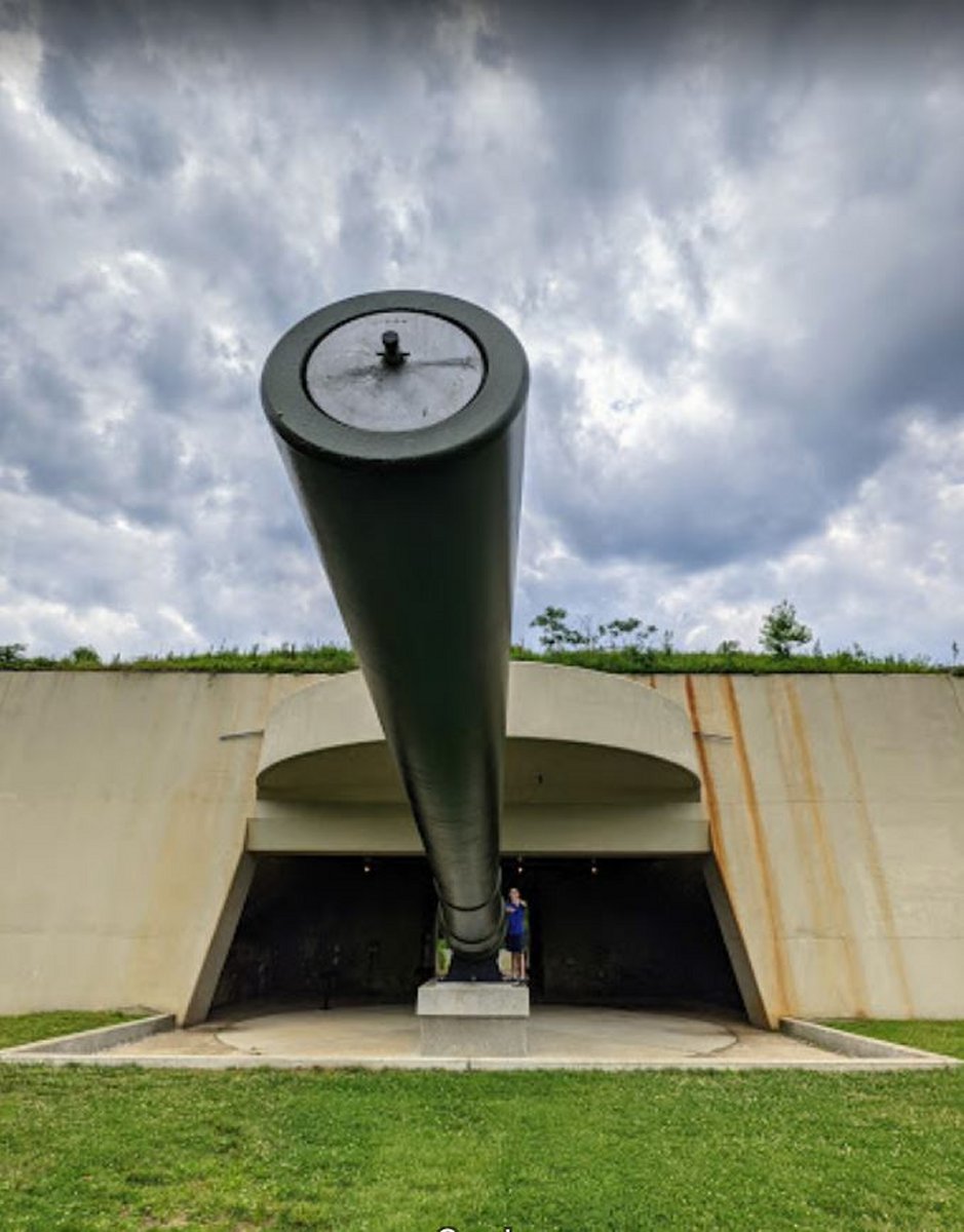
In January 2017 a retired US Navy 16"/50 caliber Mark 7 gun, formerly a spare for the Iowa-class battleships, was placed on display in one of the gun positions of Battery Lewis.
Ground view of the big gun, courtesy of Google Maps.
|
| |
 |
|
|
A little further on, I pass by the Twin Lights State Historic Site. I was surprised to learn these are lighthouses!
A lighthouse has existed on the site since 1828, when it became an important guide and landmark for ships navigating the treacherous entrances to New York Harbor.
The current lighthouse was constructed in 1862. The non-identical towers by day and the two beacons by night—one flashing and one fixed—allowed ready identification by mariners of the identity of the facility, thus allowing a rough determination of their location approaching the harbor.
This was the first American lighthouse to test a Fresnel lens and was also the site of a demonstration by Marconi of the wireless telegraph in 1899.
The north tower light was discontinued in 1898; at the same time the south tower was electrified, one of the first lighthouses in the United States to do so. It was automated in 1949, but was discontinued in 1952 as the importance of the light diminished.
From a Google Maps comment: "The twin towers are magnificent structures, built to last. Although no longer operational, due to lack of need because of advances in ocean navigation systems, the site still commands a magnificent view of the surrounding area. Built atop the largest coastal land mass between Maine and South America, you can see Manhatten, Staten Island, and Long Island from the towers. They also afford a magnificent view of nearby Sandy Hook National Park. The site includes a small, but nicely done museum which has a Marconi wireless apparatus, plus a A bi-valve fresnel lens .
|
| |
 |
|
|
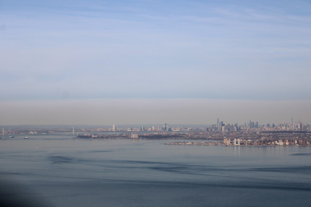
Approaching the Lower Bay.
|
| |
 |
|
| Passing the Verrazzano Bridge into the Upper Bay. |
| |
 |
|
|
Looking west. Staten Island, New York on the left and Bayonne, New Jersey on the right.
|
| |
 |
|
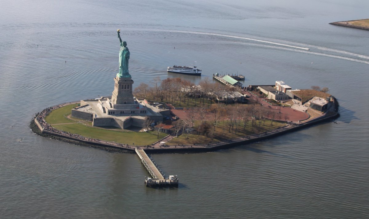
| Of course, we all had to do a counter-clockwise circle around The Lady. |
| |
 |
|
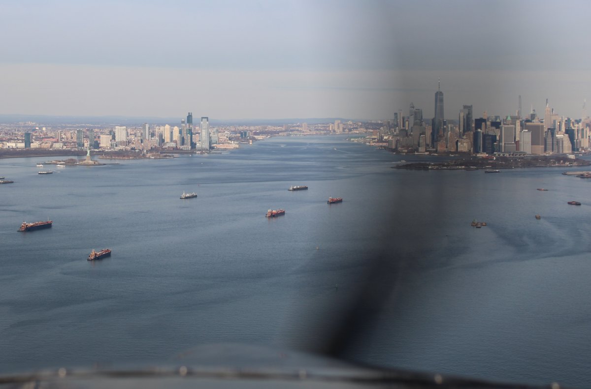
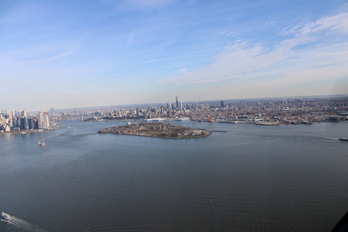
| Still over the Upper Bay, looking east at Governors Island in the foreground, the East River entrance and Brooklyn Bridge at left and Brooklyn at right. |
| |
 |
|
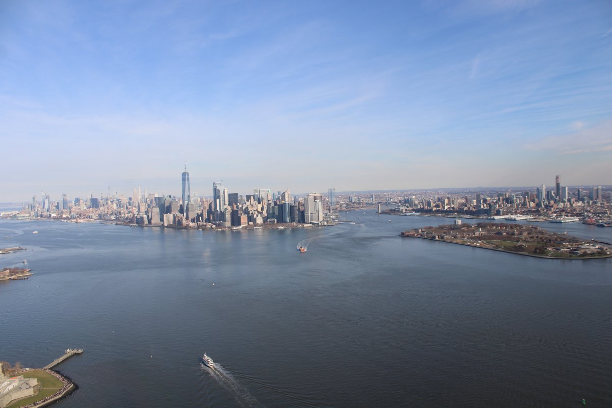
| Manhatten at left center. |
| |
 |
|
|
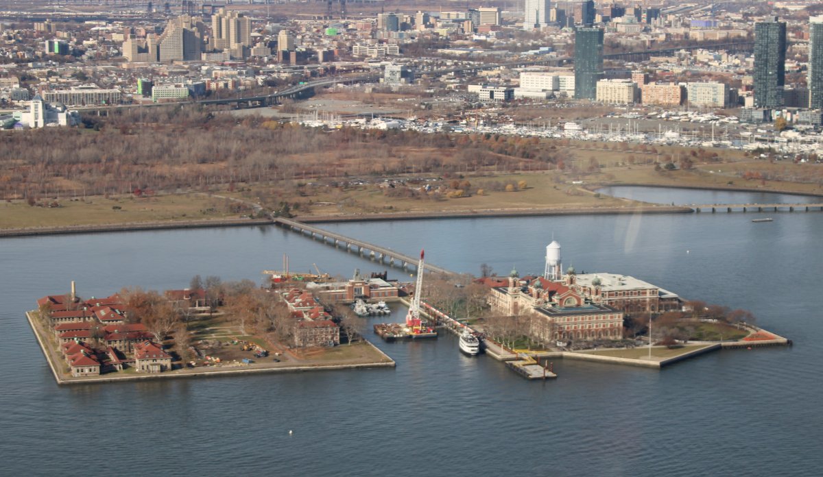
Ellis Island is a federally-owned island in New York Harbor that was the busiest immigrant inspection station in the United States. From 1892 to 1954, nearly 12 million immigrants arriving at the Port of New York and New Jersey were processed there under federal law. The first inspection station opened in 1892 and was destroyed by fire in 1897. The second station opened in 1900 and housed facilities for medical quarantines and processing immigrants. After 1924, Ellis Island was used primarily as a detention center for migrants. During both World War I and World War II, its facilities were also used by the US military to detain prisoners of war. After the immigration station closed, the buildings fell into disrepair and were abandoned, and the General Services Administration took over the island in March 1955. In June 1964, the National Park Service published making a report that proposed making Ellis Island part of a national monument. Ellis Island was added to the Statue of Liberty National Monument on May 11, 1965, and that August, President Lyndon B. Johnson approved the redevelopment of the island as a museum and park.
Today, it is part of the Statue of Liberty National Monument and is accessible to the public only by ferry. The north side of the island is the site of the main building, now a national museum of immigration. The south side of the island, including the Ellis Island Immigrant Hospital, is open to the public only through guided tours.
|
| |
 |
|
|
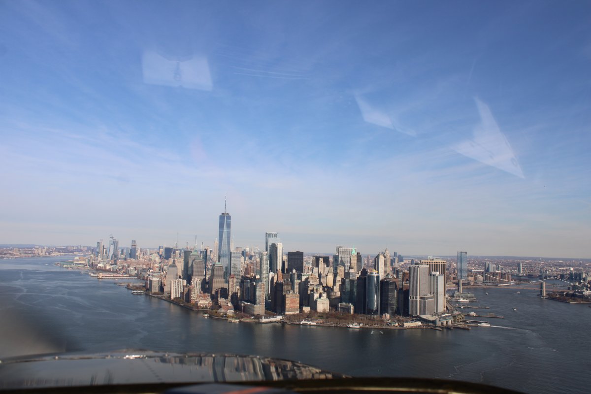
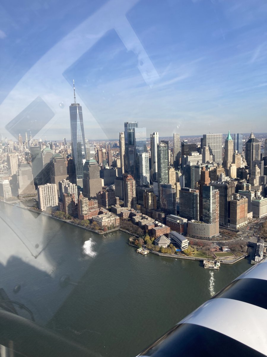
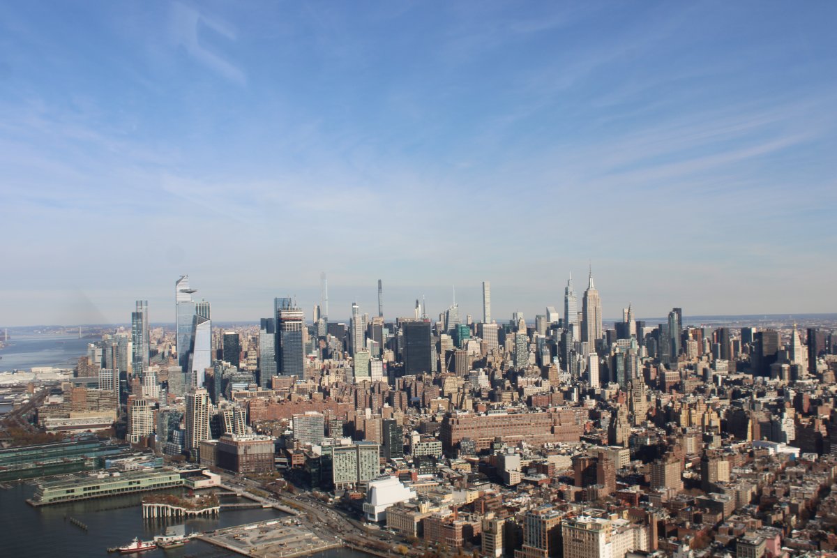
A good shot of lower Manhattan.
|
| |
 |
|
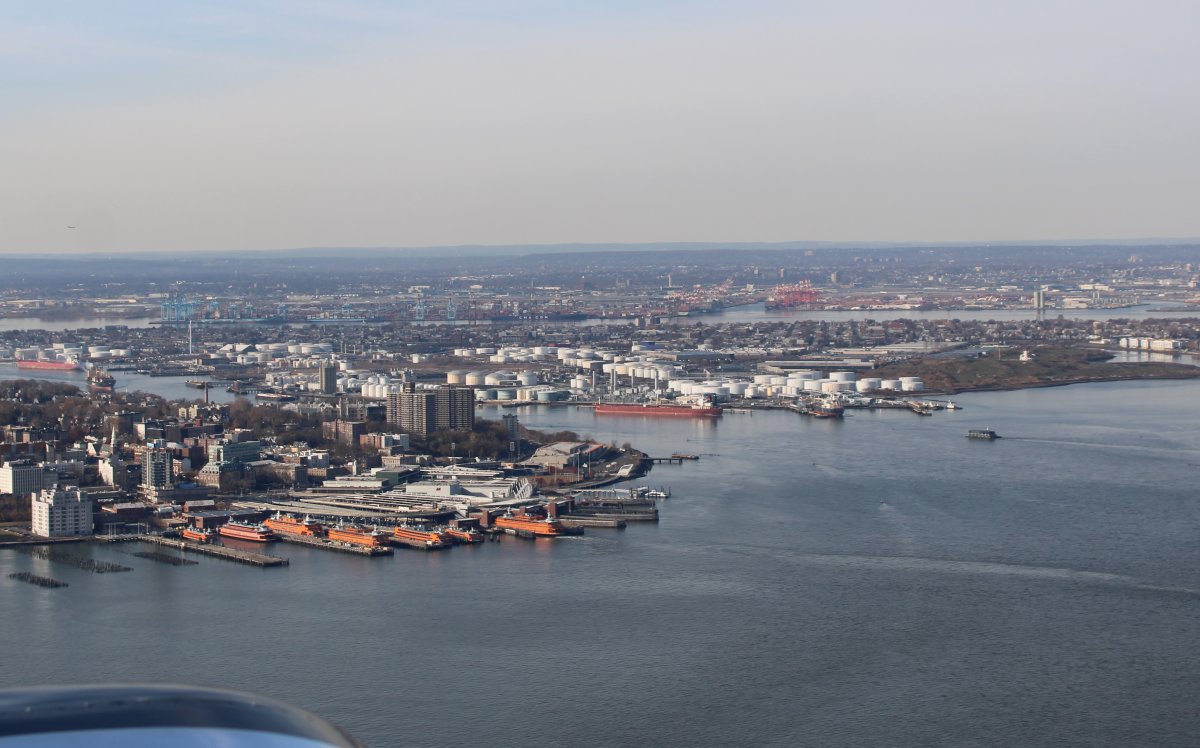
| When flying the Hudson River, you self-report your position periodically on frequency 123.05. It's like a Unicom at a non-towered airport. The reporting points are the VZ Bridge, Statue of Liberty, the "Clock", the Intrepid aircraft carrier, GW Bridge and the Alpine Towers. In our group, there was much discussion on what the Clock was. I knew sort of where it was because of the terminal chart, but had never actually really seen it. Today I finally did. (Lower center of the picture) |
| |
 |
|
|
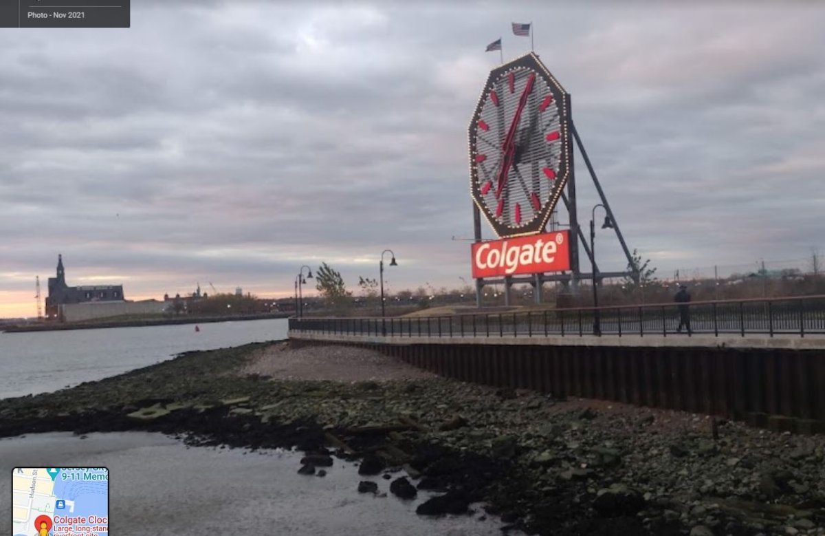
Here's a picture from the ground. It's called the Colgate Clock. It has a diameter of 50 feet. It is currently situated 1,300 feet south of where the headquarters of consumer products conglomerate Colgate-Palmolive used to be sited, before it left the area in 1985.
Some in our group thought that the smaller clock in the Central Railroad of New Jersey Terminal -- at far left -- was "The Clock".
|
| |
 |
|
| Lower Manhattan, always an impressive sight. |
| |
 |
|
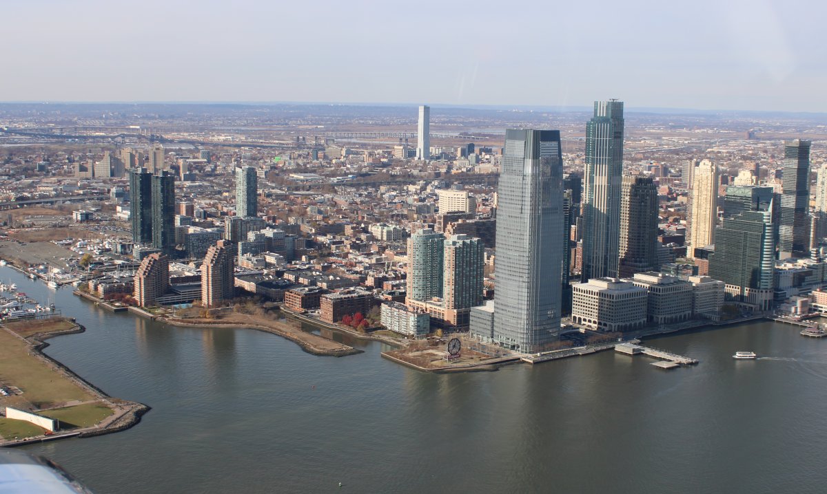
| Further north, a good look at some of the relatively new New York City tall skyscrapers. It used to be only the Empire State building stood tall. Now it looks like there are six others just as tall, or taller. |
| |
 |
|
|
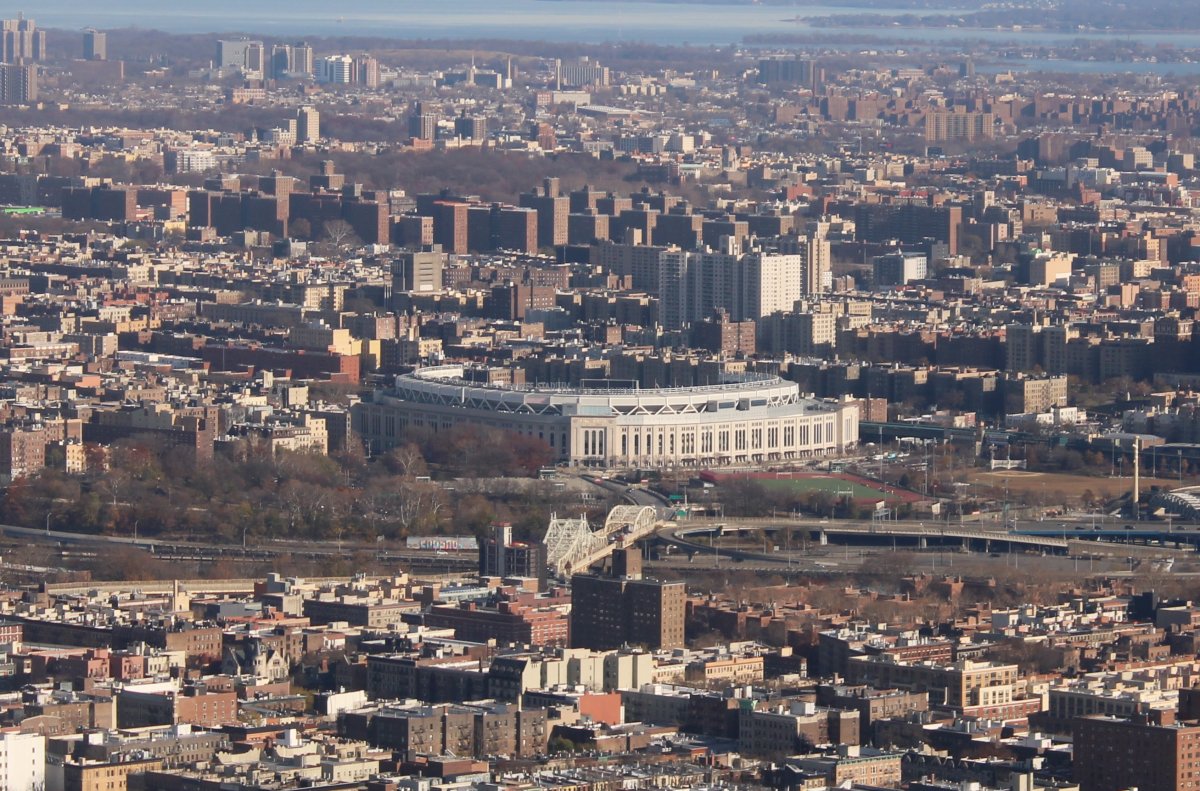
Checking out Yankee Stadium from the air.
The $2.3 billion stadium, built with $1.2 billion in public subsidies, replaced the original Yankee Stadium in 2009 and is the sixth-largest stadium in MLB by seating capacity. It is located one block north of the original, on the 24-acre former site of Macombs Dam Park; the 8-acre site of the original stadium is now a public park called Heritage Field.
The stadium incorporates replicas of some design elements from the original Yankee Stadium, and like its predecessor, it has hosted additional events, including college football games, soccer matches, two outdoor NHL games, and concerts. Although Yankee Stadium's construction began in August 2006, the project spanned many years and faced many controversies, including the high public cost and the loss of public parkland. The $1.5 billion price tag makes the new Yankee Stadium one of the most expensive stadiums ever built.
|
| |
 |
|
|
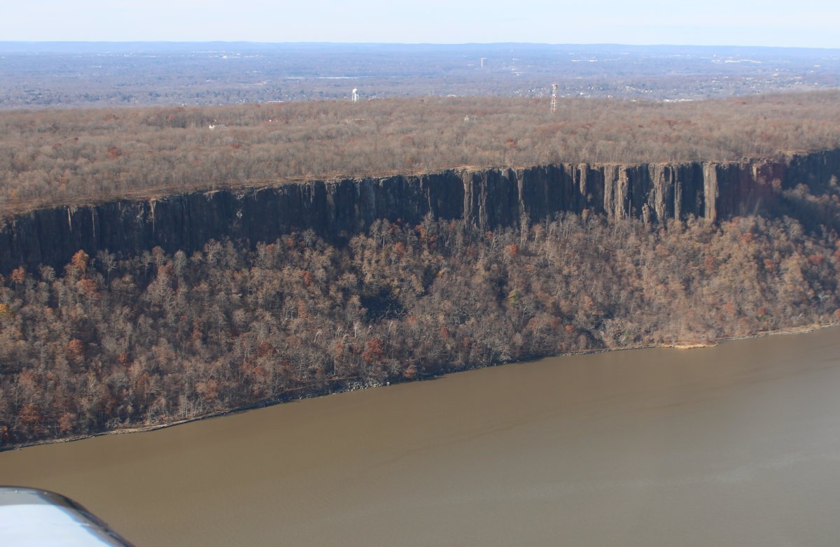
The striking cliffs on the west side.
|
| |
 |
|
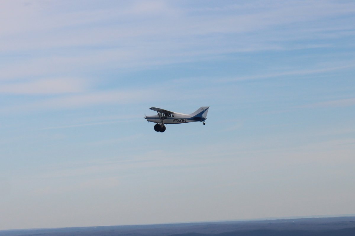
| After passing the Alpine Towers, we left the river and headed direct for Sky Acres. Soon we had caught up to Tom and pax in the Maule. |
| |
 |
|
|
Sky Acres was really busy when we landed. There were at least five planes ahead of me in the pattern. I needed my GPS to find the airport by the time I was able to turn to final.
|
| |
 |
|
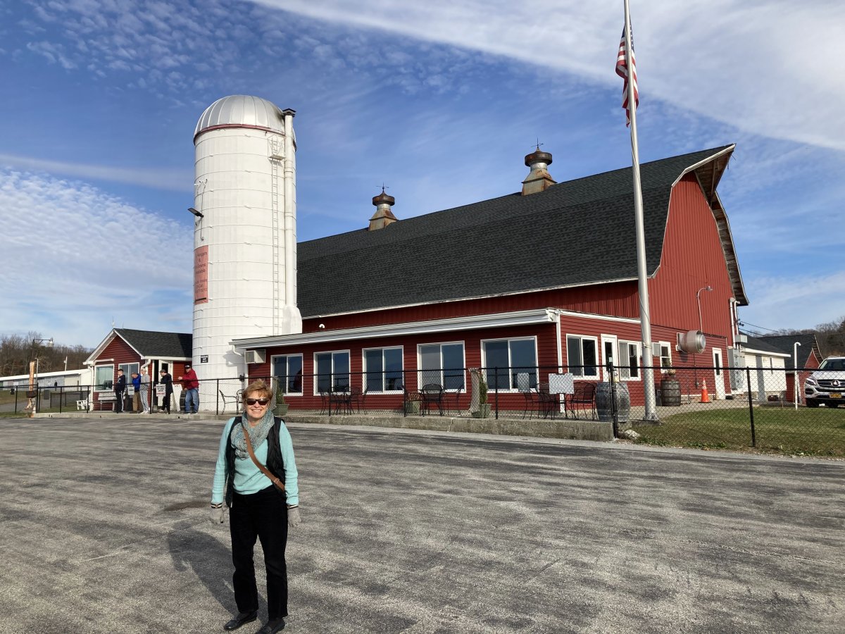
| The FBO and restaurant building at Sky Acres. Lynnette is happy to be here. |
| |
 |
|
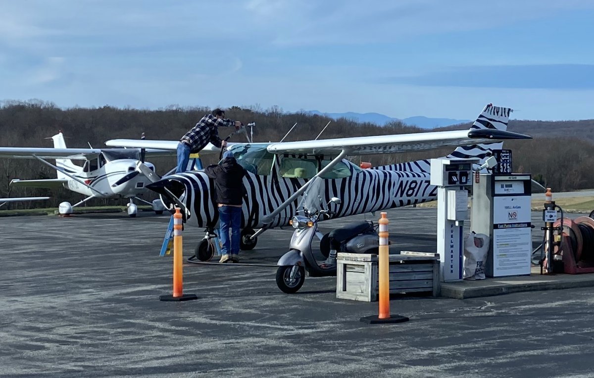
| Now there's an unusual paint job. |
| |
 |
|
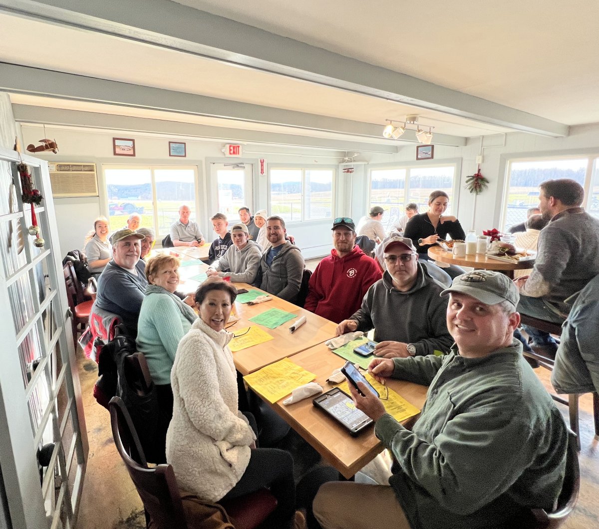
| Our happy group inside the restaurant. We were lucky; despite our large party, we were seated soon after arriving. The food came out rapidly and was hot and good. |
| |
 |
|
|
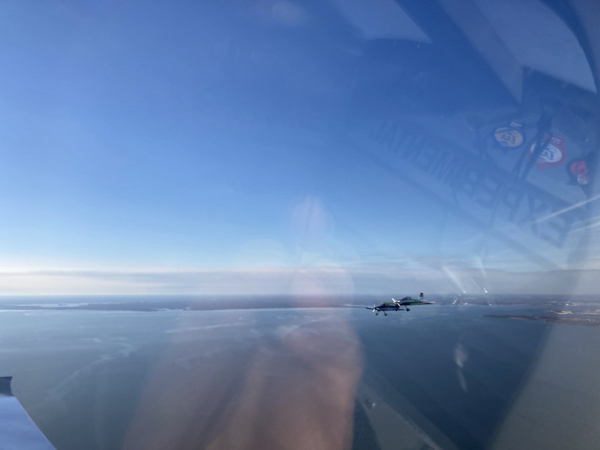
Passing by Rich and Nhu-An in the Decathelon shortly after takeoff.
|
| |
 |
|
|
We climbed up to 6,500 and zoomed directly home, down the west side of New York City and Philadelphia.
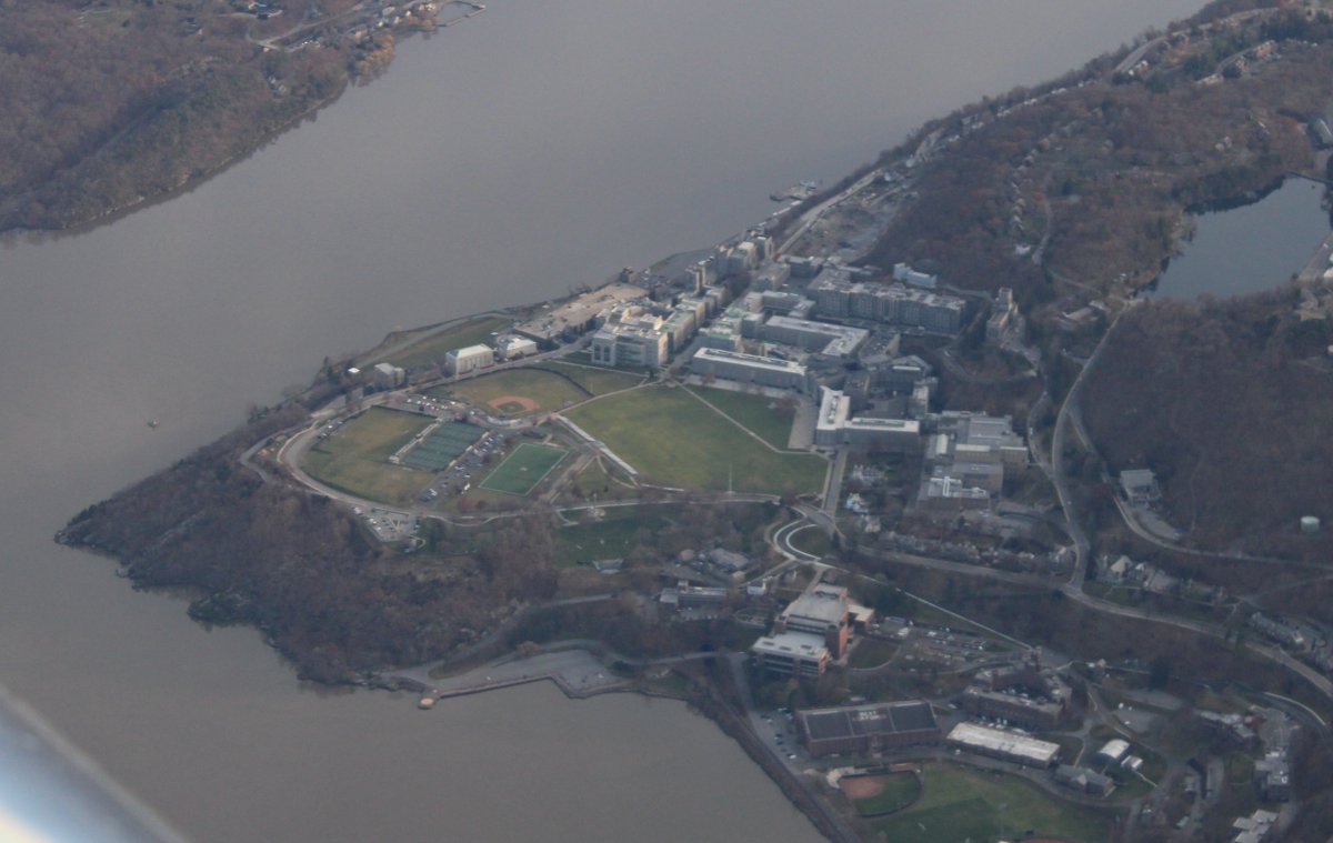
Looking down at the U.S. Military Academy at West Point, NY. Go Navy!
|
| |
 |
|
|
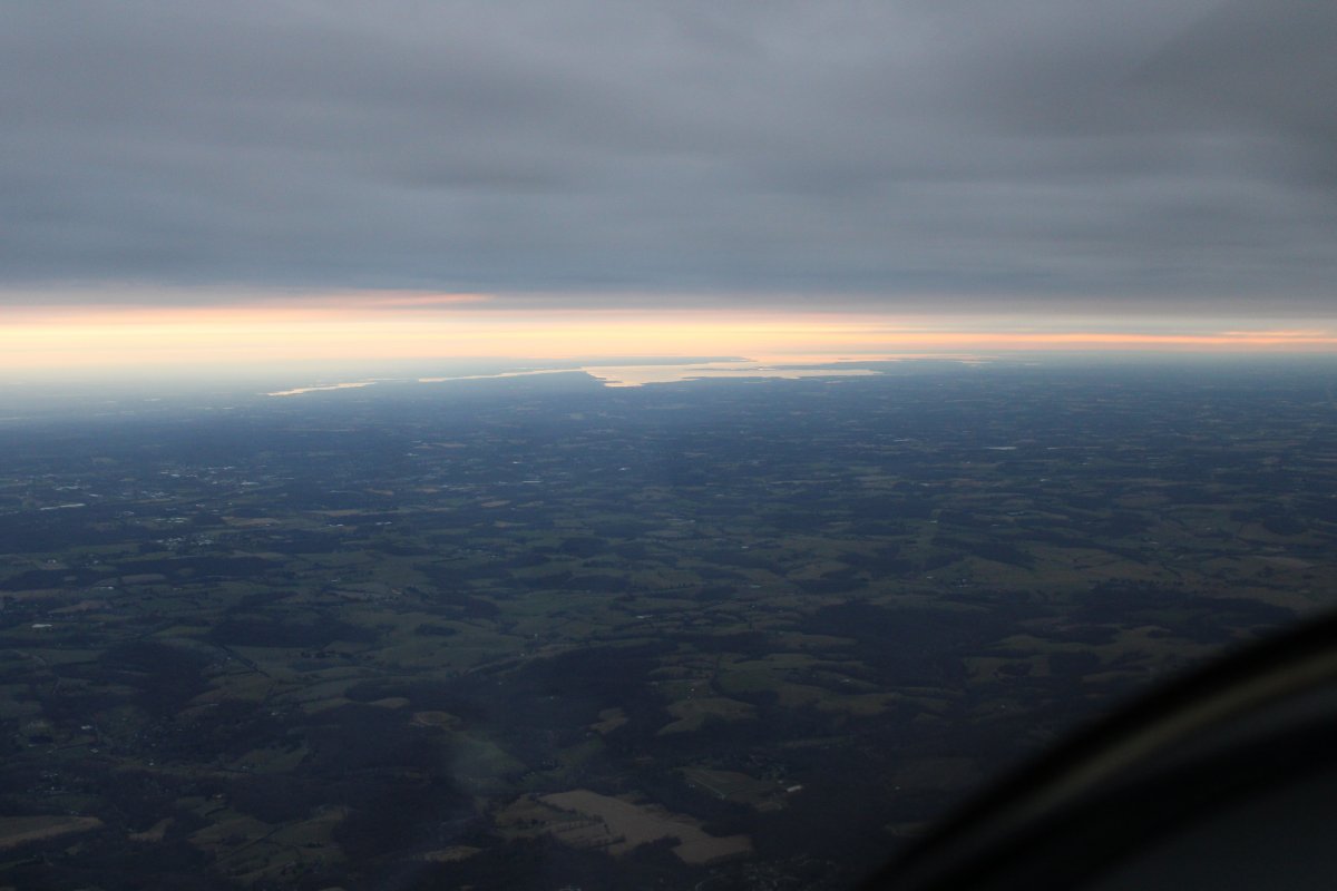
The upper Chesapeake Bay is visible in the distance.
|
| |
 |
|
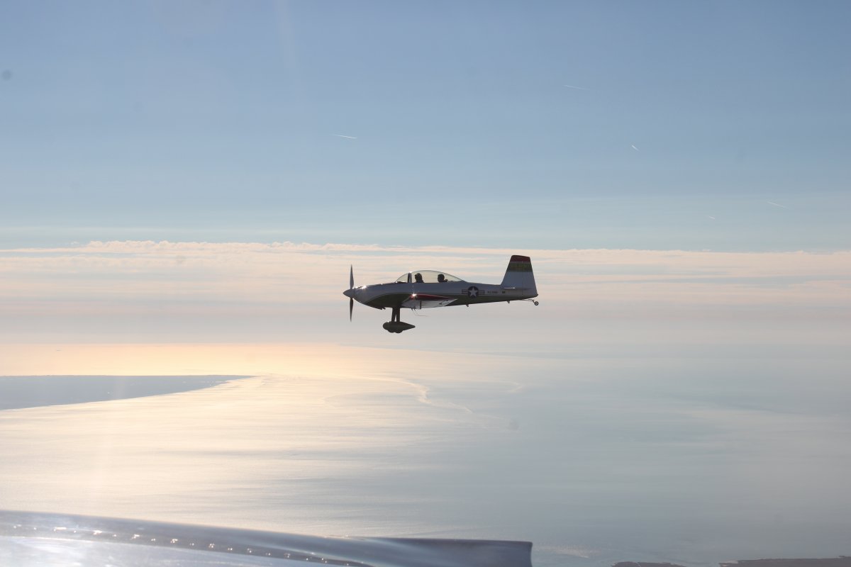
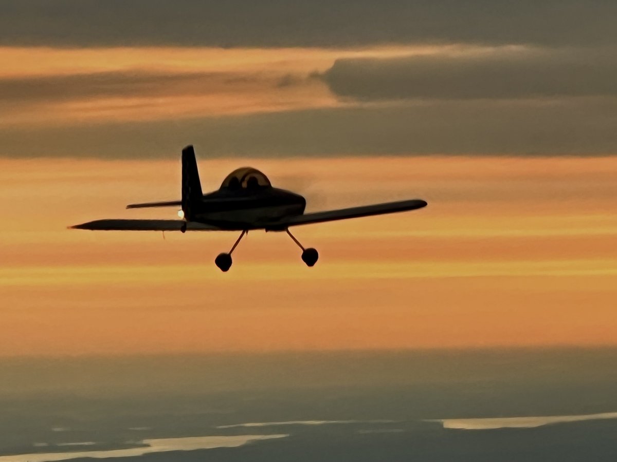
A nice shot of Brian's RV-8 as he headed home into the setting sun. |
| |
 |
|
|
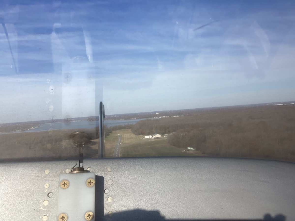
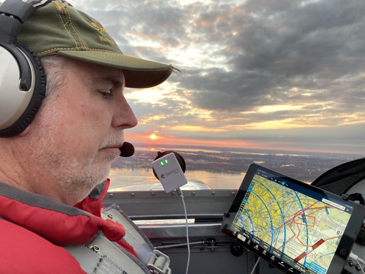
Getting psyched up for landing.
I'm really happy with my Foreflight Sentry and Foreflight software on the iPad setup. The Sentry is a big improvement over the Scout I used to use.
|
| |
 |
|
|
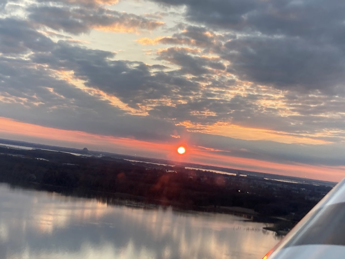
Lynnette got this nice shot of the sun as we were turning downwind at Essex Skypark.
|
| |
 |
|
|
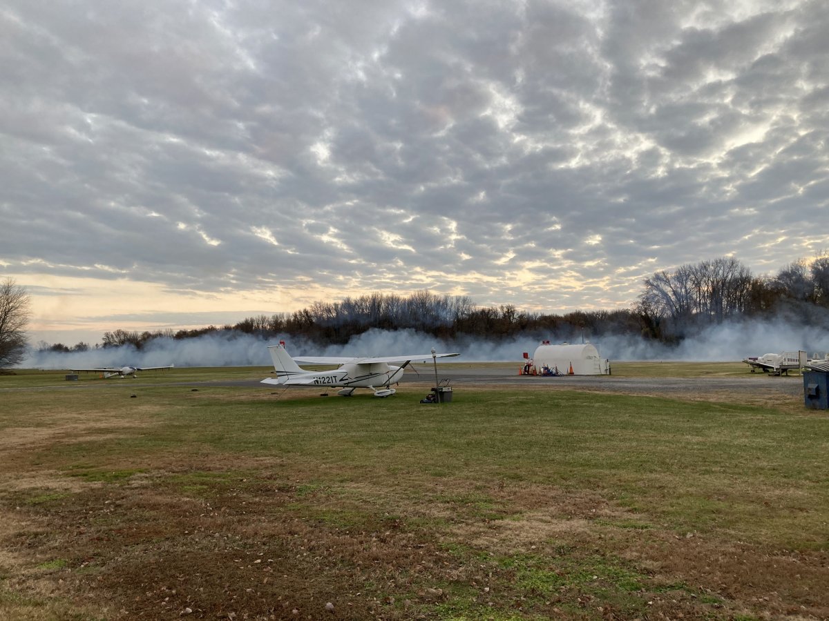
A rogue trio of pilots did low-passes and turned Essex Skypark IMC! We don't hold for that at Essex Skypark! (Sarc)
|
| |
 |
|
| |
| |
|
|
|
|
|
|